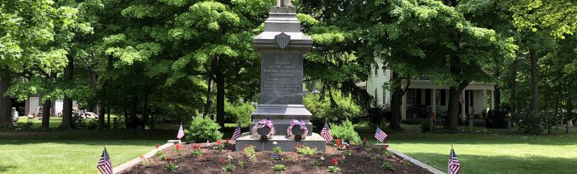


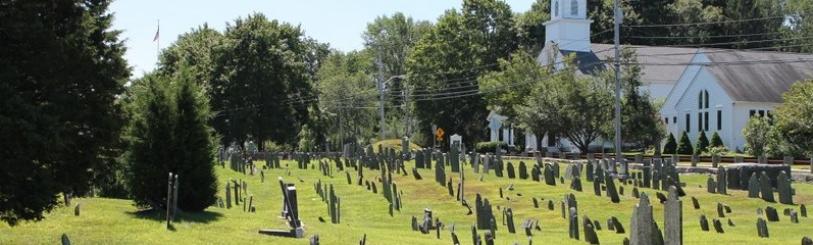


Hillcrest Cemetery
Plympton's Hillcrest Cemetery dates to 1706 or earlier. It runs in a north-south direction along Main Street (Route 58) and covers approximately 14 acres. The Mass. Historical Commission Inventory form for Hillcrest Cemetery provides an excellent summary of the history and significance of the Cemetery.
Bricknell's Grave Marker Study
This page contains the entire volume of Plympton's Old "Burying Place". Plympton's Old "Burying Place" was compiled by a group led by Charles H. Bricknell in 1979 and 1980. Mr. Bricknell's foreword provides some excellent background on their efforts and more detail on reading the Cemetery map (below).
Their work contains the location of each grave marker, and where discernible, its inscription. The locations are described in terms of Rows, Plots and Stones. Markers can be located by starting in the orientation map of the Cemetery, below. Rows are numbered 1 through 9 running west-to-east; Plots (columns) run south-to-north and are numbered 1 through 13. Not all Rows have 13 Plots due to the trapezoidal shape of the Cemetery. Each plot is 26' x 36'. X's on the map denote foot-stones; O's denote headstones. Detail maps for each Row can also be found below.
Caveat
The source material for the PDF scans on this page, regretfully, was a quite-faded mimeograph of Mr. Bricknell's work. As a result, and given the technology available to the Historical Commission, scans had to be done at a very high resolution (making them large; 500 - 900 KB per page) and precluding effective Optical Character Recognition (OCR) that would make the text searchable. The Commission is seeking an original copy of Plympton's Old "Burying Place" that would be more suited to OCR and is also considering transcribing the material to ultimately enable text searches.
Row & Plot Maps
| Orientation Map & Key | Row 5 | |
| Row 1 | Row 6 | |
| Row 2 | Row 7 | |
| Row 3 | Row 8 | |
| Row 4 | Row 9 |
Inscriptions & Locations